Toggle navigation
Home
Software
Reconstructor
GoBlueprint
HERON Desktop
Soluzioni
HERON
OPMMS
Prodotti terzi
Laser scanner
Sensori Velodyne
Software
Fotogrammetria
Sharing nuvole di punti
BIM/Modellazione
Download
Reconstructor Demo
GoBlueprint Free Tool
Content Hub
HERON Dataset
Acquista
Richiedi Offerta
Distributori
Rete MEPA
Chi siamo
Mission e Vision
Consulenza
Contatti
Login
SOFTWARE DI FOTOGRAMMETRIA
Gexcel integra e rivende software per costruire modelli 3D partendo da fotografie terrestri o da drone
Gexcel non rivende 3DF Zephyr in Danimarca, Italia, Giappone, Corea del Sud
by 3Dflow
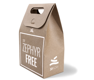
3DF ZEPHYR FREE
Software di fotogrammetria gratuito. Ricostruzione 3D completa. Limite di 50 foto.
Gratuito
DOWNLOAD
Gexcel non rivende 3DF Zephyr in
Danimarca, Italia, Giappone, Corea del Sud
by 3Dflow
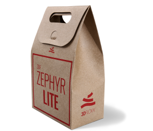
3DF ZEPHYR LITE
Software di fotogrammetria per ricostruzione 3D completa. Limite di 500 foto.
RICHIEDI INFORMAZIONI
Gexcel non rivende 3DFZephyr in
Danimarca, Italia, Giappone, Corea del Sud
by 3Dflow
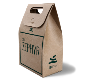
3DF ZEPHYR
Software di fotogrammetria per icostruzione 3D completa. Foto illimitate.
RICHIEDI INFORMAZIONI
Gexcel non rivende 3DFZephyr in
Danimarca, Italia, Giappone, Corea del Sud
by 3Dflow
3DF ZEPHYR EDUCATION
Software di fotogrammetria per studenti ed insegnanti.
RICHIEDI INFORMAZIONI
Gexcel non rivende 3DF Zephyr in
Danimarca, Italia, Giappone, Corea del Sud
Home
|
Prodotti terzi
|
Software
|
Fotogrammetria
")
")