")
")
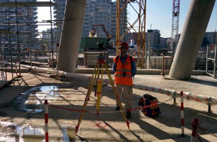
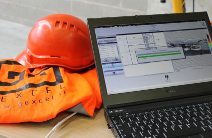
Validation of surveying activities in construction sites. Project and adjustment of surveying networks. Real-time surveying monitoring. Surveying consulting to construction companies.
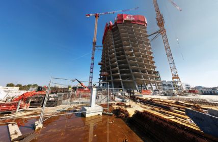
Topographic check for skyscrapers and tall structures. Verticality check of towers and chimneys. New technologies for verticality check. Climbing formworks positioning check.
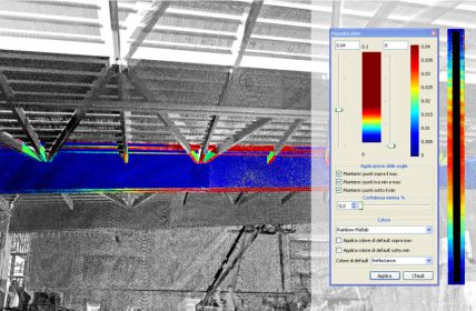
3D surveying for “as built / as designed” check. Congruency between “as built” and BIM. Project as-built differences check and visualization. Tracking of building façades and complex buildings.
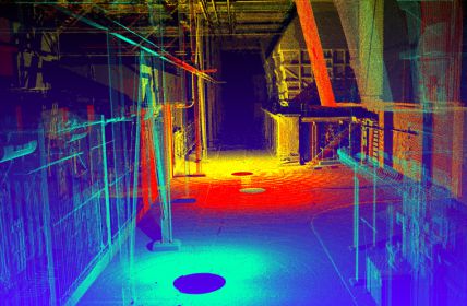
3D laser scanning for modeling of industrial plants (MEP). Scan to BIM. Geometric change detection. Clash detection for revamping of industrial plants. Scan to vector for piping and oil&gas.
Leveling networks for altimetric deformations. Deformations monitoring of construction sites and tunnels. Real-time automatic monitoring networks. Real-time 3D monitoring by laser scanner. Survey and monitoring of dams.
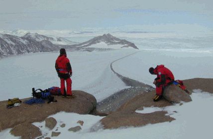
Topographic, total station, GNSS, cartographic and cadastral surveying & mapping. Digital Elevation Models. Surveying activities in extreme and emergency situations. Quality check of cartographic and topographic surveying activities.
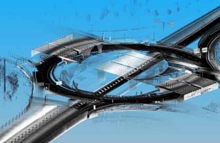
Project and adjustment of topographic networks for infrastructures (railways and highways). Topographic networks least squares adjustment. Consulting on datum and cartographic reference systems for cartography and infrastructures. Project, simulation, adjustment of geodetic networks.
Mobile, terrestrial and airborne surveys. Lidar data processing and deliverables extraction. Mapping of high-resolution images onto 3D point cloud models.
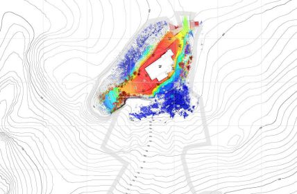
UAV and laser scanning surveys. Volumes calculation. Open pit mine 3D deformation monitoring. Landslide monitoring.
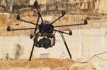
Cartographic surveys and 3D from images. 3D surveying from the sky (UAVs, planes, helicopters). Terrestrial digital photogrammetry. High-resolution orthophoto images.
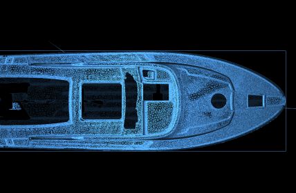
3D close range models. Geometric 3D surveys of boats and hull boats. Innovative 3D surveying technologies.
3D laser scanning surveys for clash detection. As-built/As-designed analysis. 3D visualization of interferences and clash detection.
E. This email address is being protected from spambots. You need JavaScript enabled to view it. | P. (+39) 030 6595001
CONTACT US