")
")
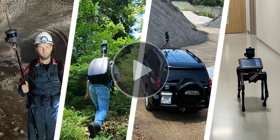


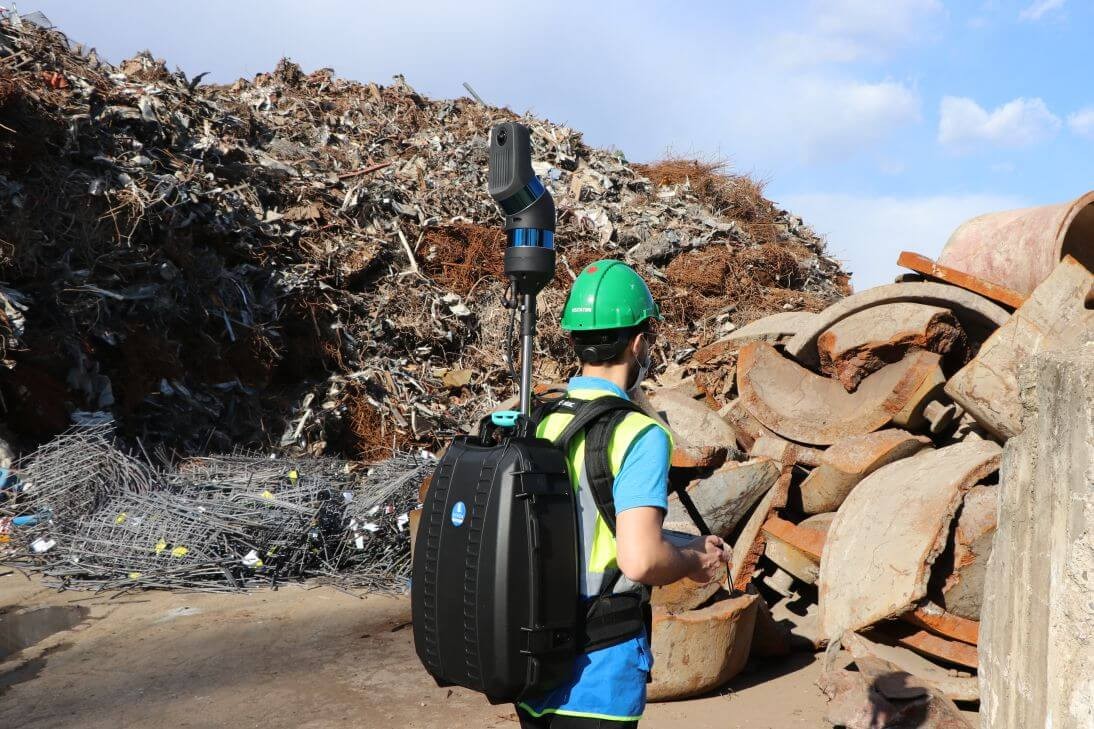

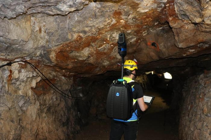
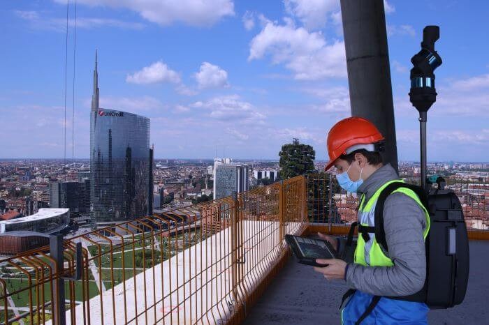
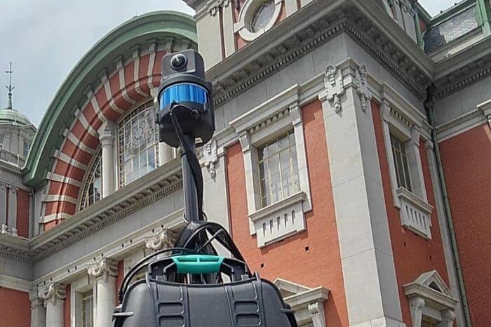
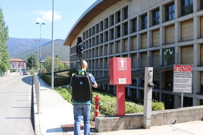
TESTIMONIALS
The secret of success
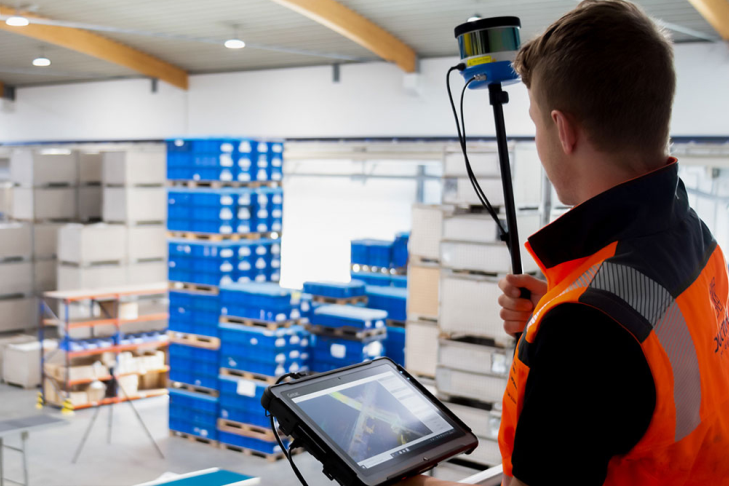
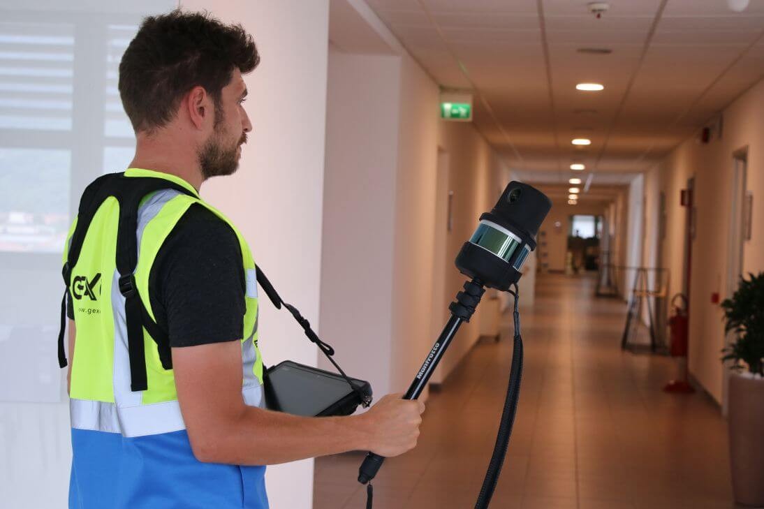
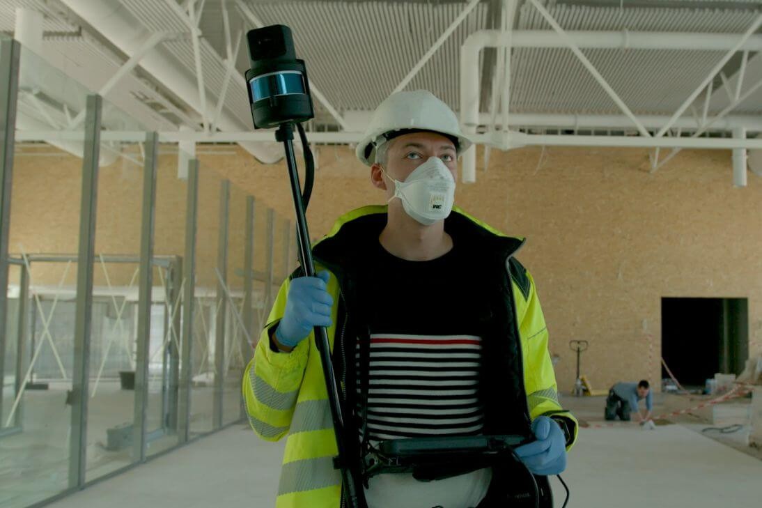
Listen to the experience described directly by people who have decided to use HERON® in their surveying and 3D mapping projects. Continuous innovation, technical reliability, fast support, and focused training are just some of the main reasons for the fast-growing success of HERON® in the indoor mobile mapping market.